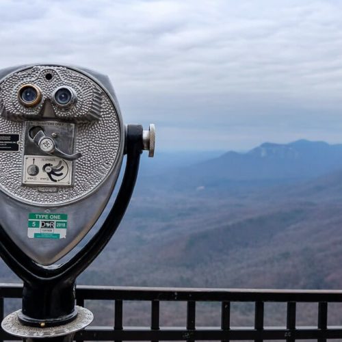
Wildcat Wayside is a small roadside stop along the Cherokee Scenic Highway (SC-11 & US 276). I’ve passed it for years on my way to Table Rock, Lake Jocassee, and Western North Carolina. And on the weekends in the summer, the place is packed.
So the main reason people come to the Wildcat Wayside are the waterfalls. There are three of them, but the first two are beautiful and easily accessible (like literally a stone’s throw from the highway). While the third is at the far end of the loop trail, but the hike is gentle and easy.
Read Next: The Best Places to Go Hiking Near Greenville, SC
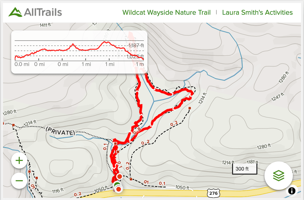
Wildcat Wayside Loop Trail
Distance: 1 mile loop
Difficulty: Easy
Dog Friendly: Yes
Trailhead: Located along US-276 / SC-11
Fee: There is no fee to visit this roadside stop.
Elevation Change: ~150ft
Time: less than an hour
Parking along the road here can be quite difficult if you’re coming during busy times. And in the summer, the place is busy. There’s a pretty long/wide shoulder here on the northern side of the highway which is where most people park.
But there are a few other pull-offs along this stretch of the highway if the main one is full. Just be super careful walking along the road as the highway has a bit of traffic and the speed limit is like 55mph through here. (So watch your dogs and kids closely.)
When I visited on a Thursday morning in mid-May I originally had the place to myself. But as I was leaving at about 10:30am, there were already 5 other cars parked.
Read Next: Discover the Best Waterfalls Near Greenville, SC
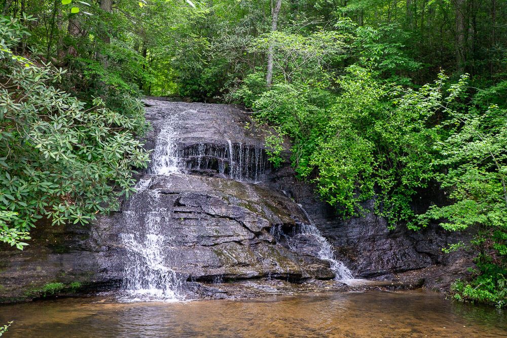
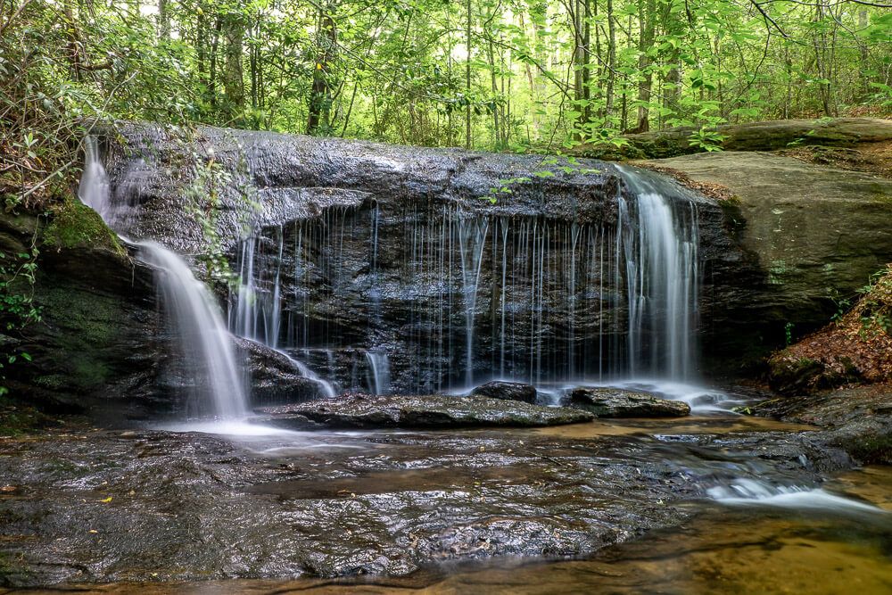
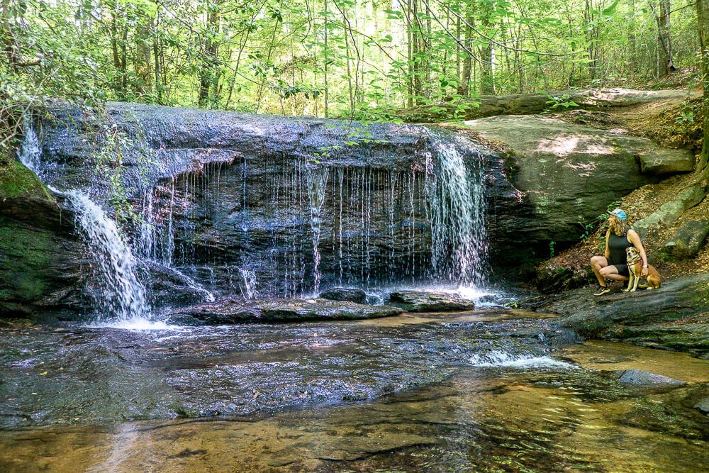
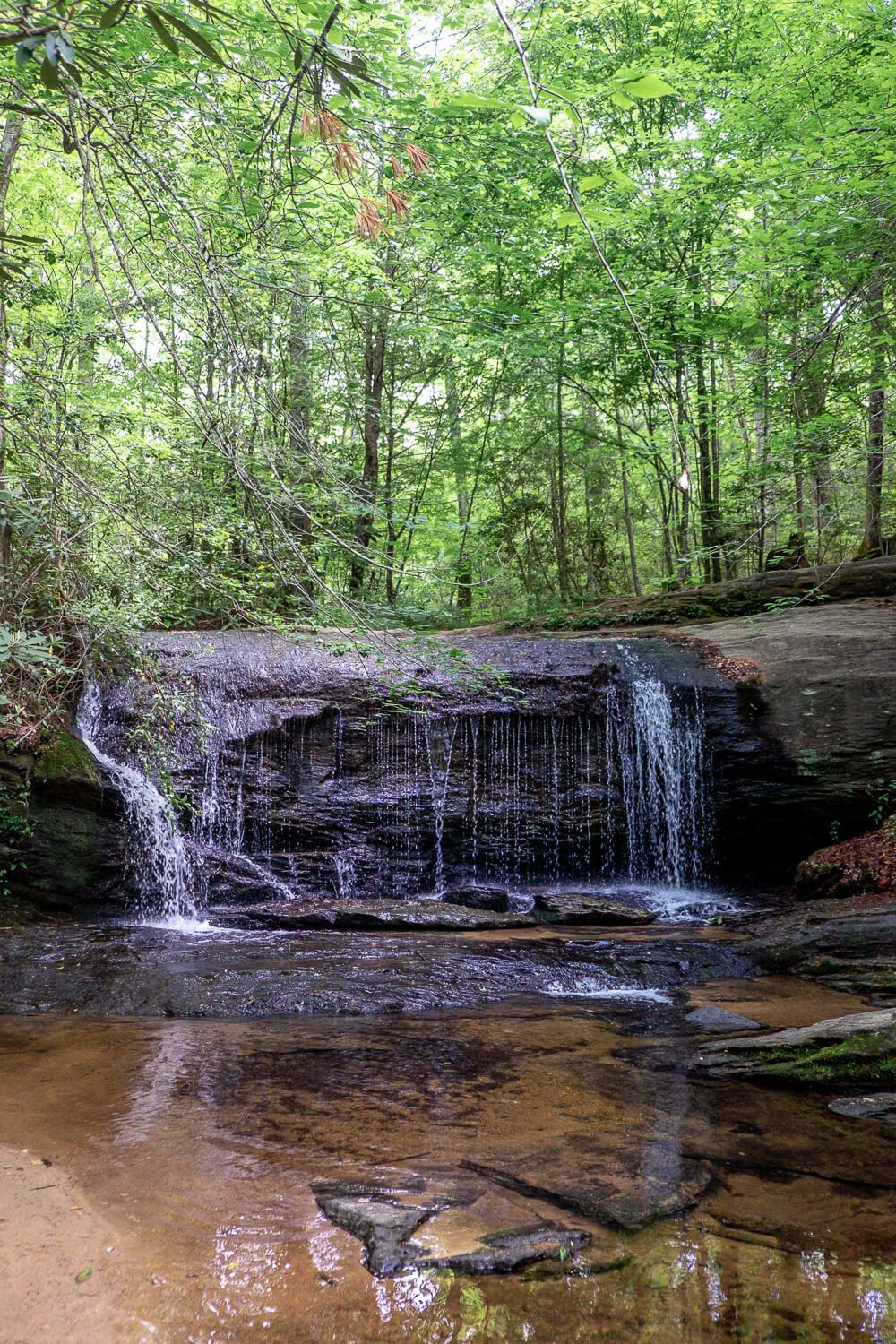
The first waterfall is literally like right along the road. There are just a few steps down from the parking area to the pool of this waterfall. And the water is shallow and cool. In the summer this makes for a great swimming hole (which is one of the main reasons this stop is so popular in the hot months).
Just be sure to bring some water shoes as the bottom of the water is a mix of sand and rocks. (And I honestly never trust people to not throw trash (like glass) into bodies of water.)
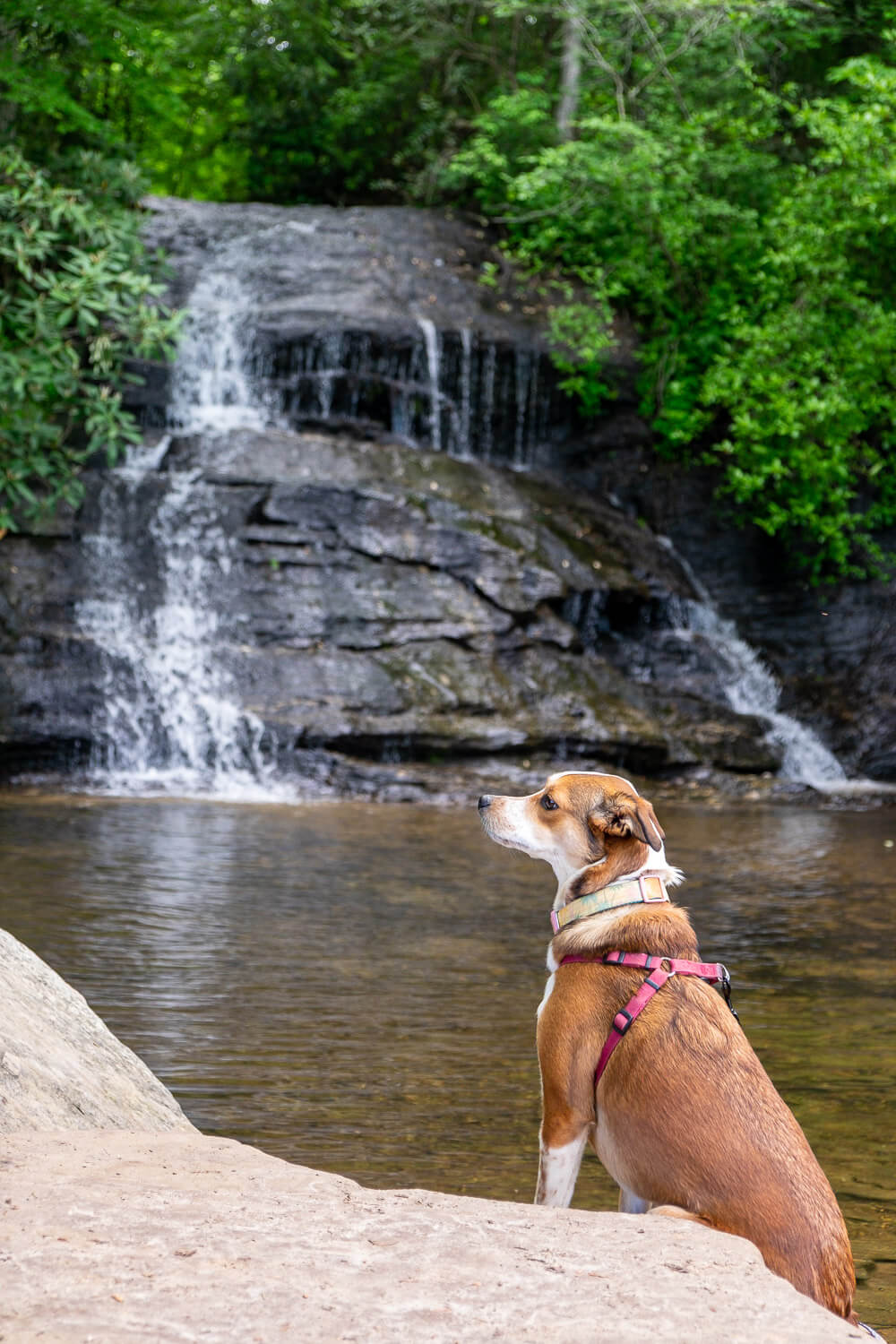
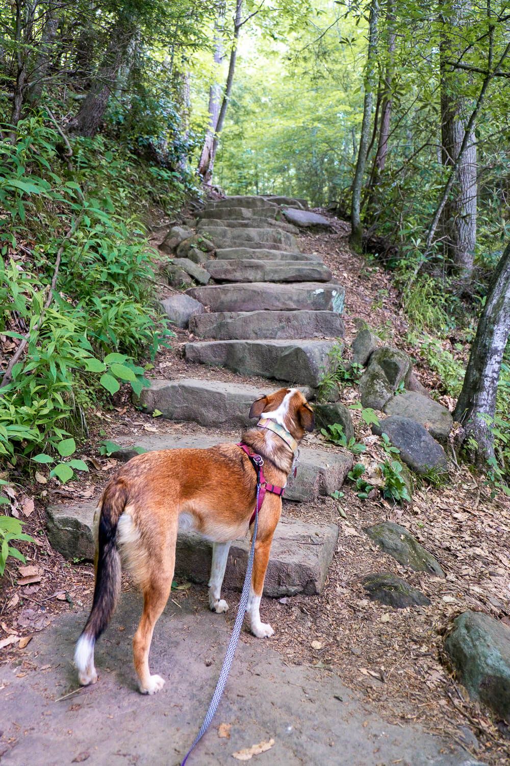
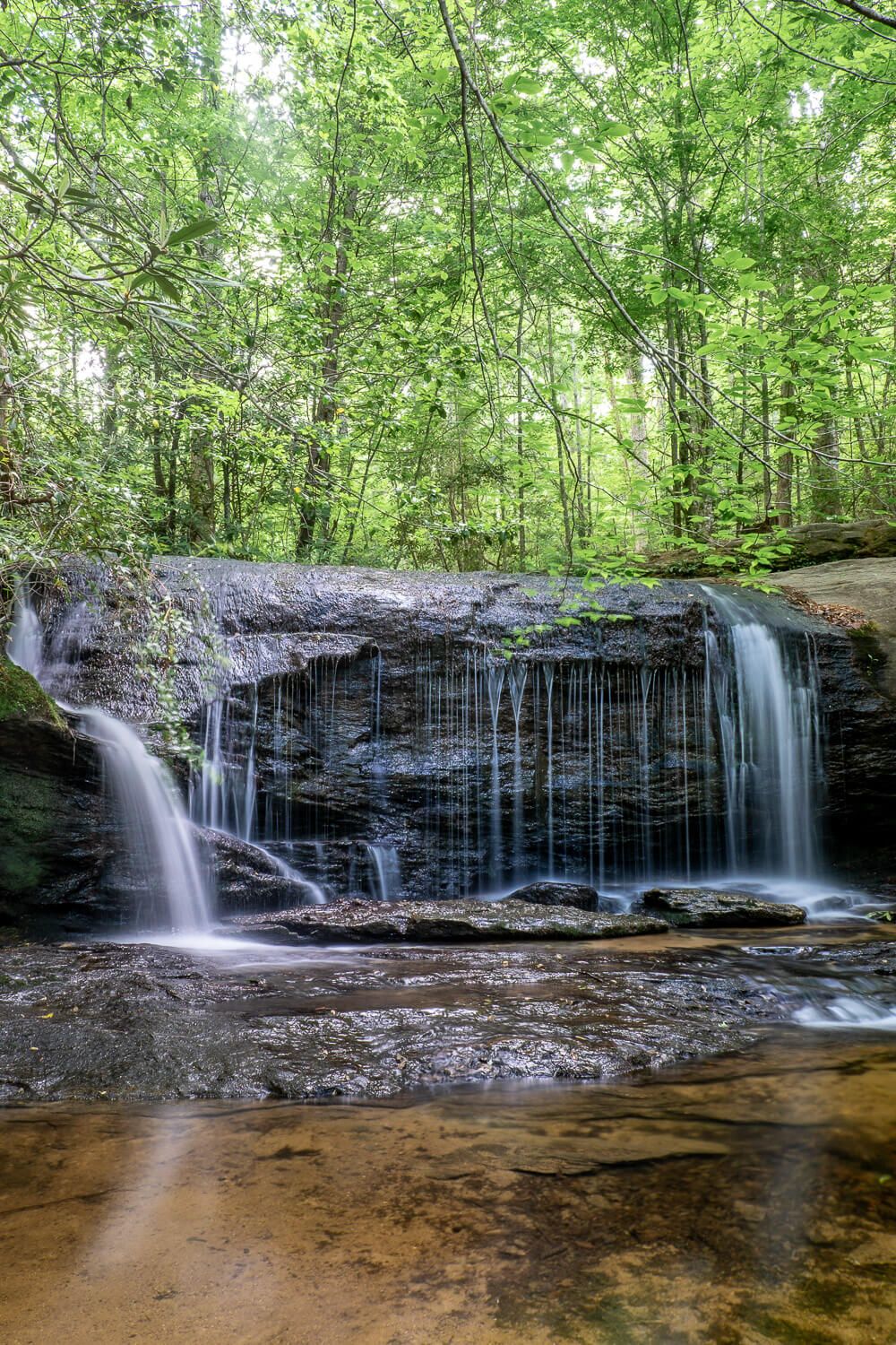
The hike begins up the left side of this waterfall so just follow the stones steps up and the second waterfall is literally in sight.
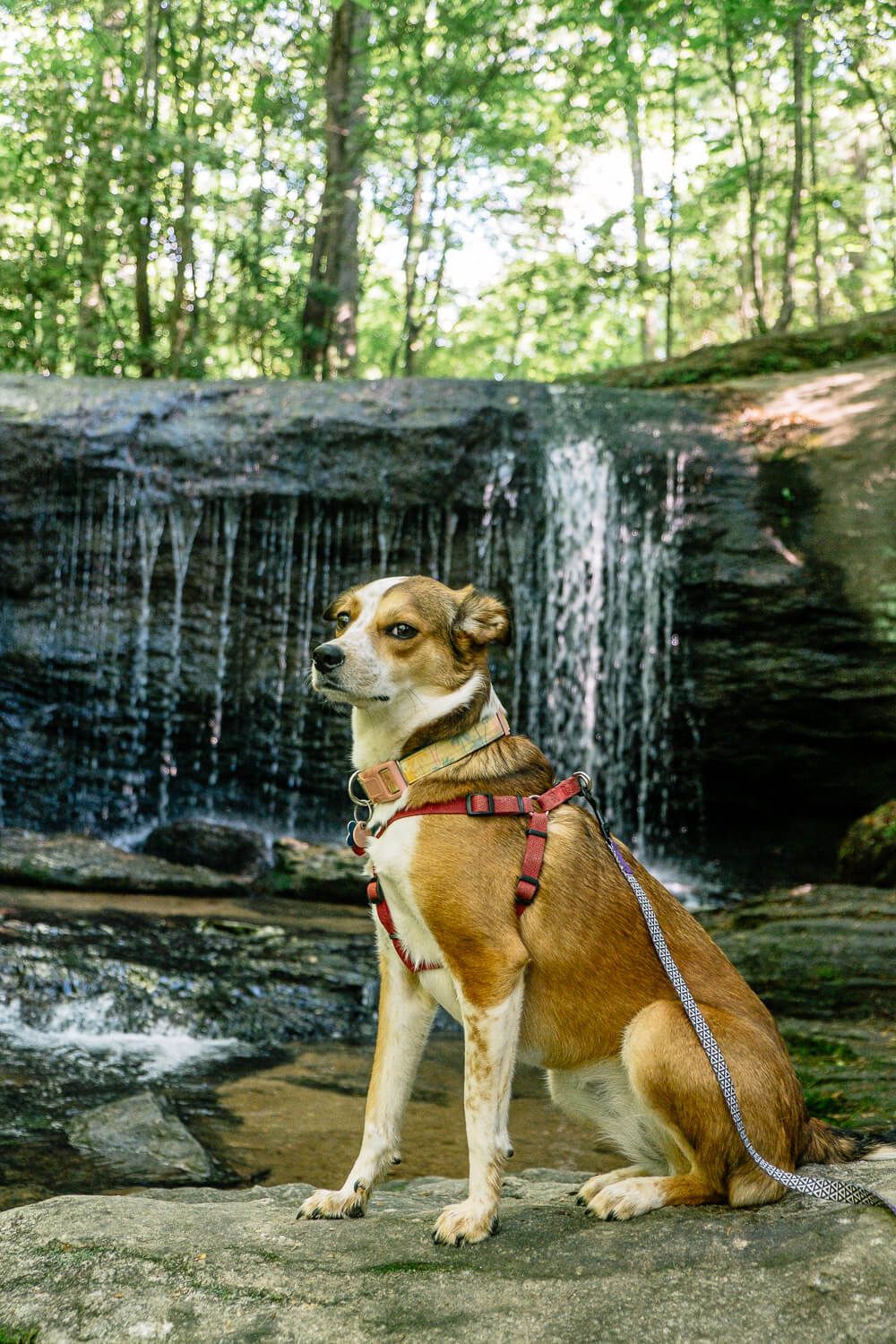
This waterfall was my favorite and was super photogenic. It’s also the one I see the most on social media and online. If you feel up to it (and are ready to get wet), you can stand under the falls (or get super close to them). Ellie, who is not a water dog, wasn’t letting us getting any closer.
If you want to hike the loop, continue up the steps along the right side of the waterfall. You’ll pass by a Mountain Bridge Wilderness sign with a map of the hike. There’s just one main trail through here and you’ll want to follow the yellow blazes.
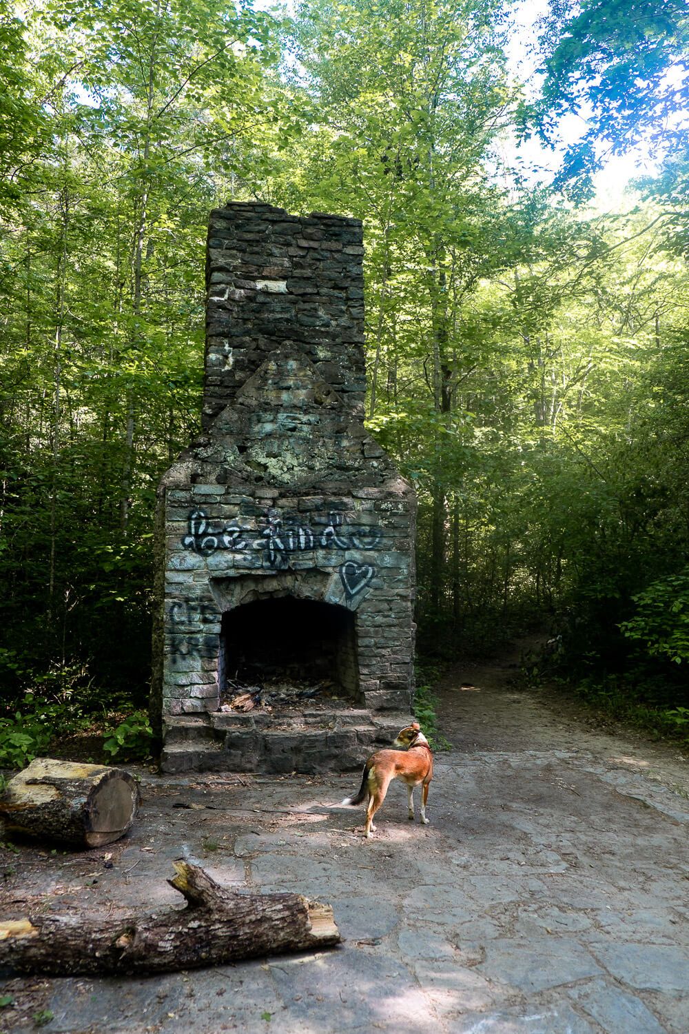
Past the sign, the trail continues straight for a bit. You’ll pass by ruins of an old picnic shelter that was built in the 1930s when this was the Greenville Wayside Park.
Continue north along the trail to a second placard and learn about the wildlife in the area. This is also where the loop part of the trail begins. We headed to the left, but I don’t think it really matters as you’ll come back along the other side.
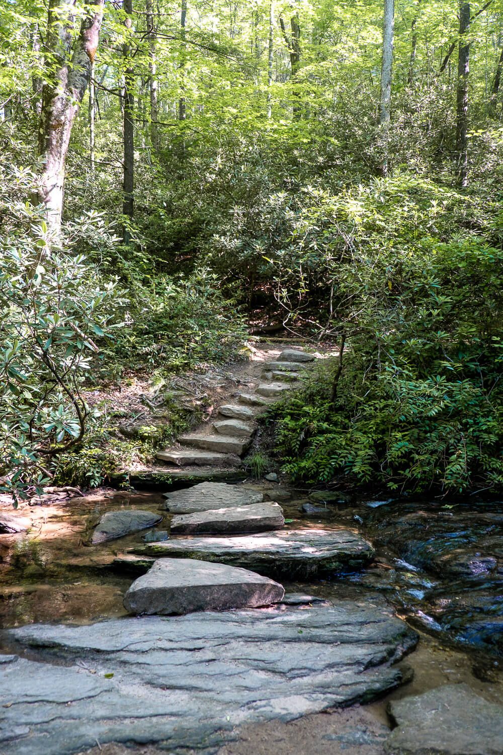
Now if you are the first person on the trail that day, be prepared for lots of spider webs. I ended up picking up a fallen branch and carrying that in front of me to knock them down. And I still got hit in the legs quite a bit.
At the halfway mark for the trail, you’ll reach the Wildcat Branch Upper Falls. I wasn’t as impressed with this waterfall. It’s much farther up the hillside and the bottom of the waterfall has a lot of fallen rocks and boulders.
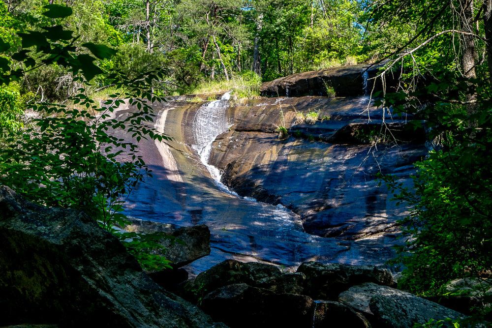
It was also pretty small the day we went so I decided to hold off on getting a closer look. Plus there are lots of signs about people dying here, so if you do hike up the right side, proceed with caution.
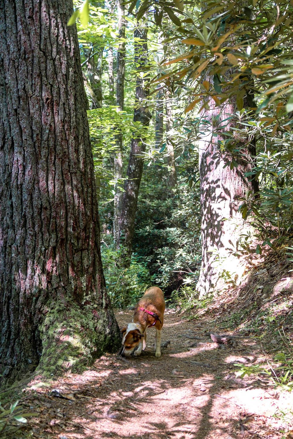
After that we continued along the trail, hopping over small streams and just generally taking in all the sights (and smells for Ellie) of the forest.
Before you know it, you’ll be back at the start of the loop.
Trail Map
Click the image or the buttons to view the map in more detail.
