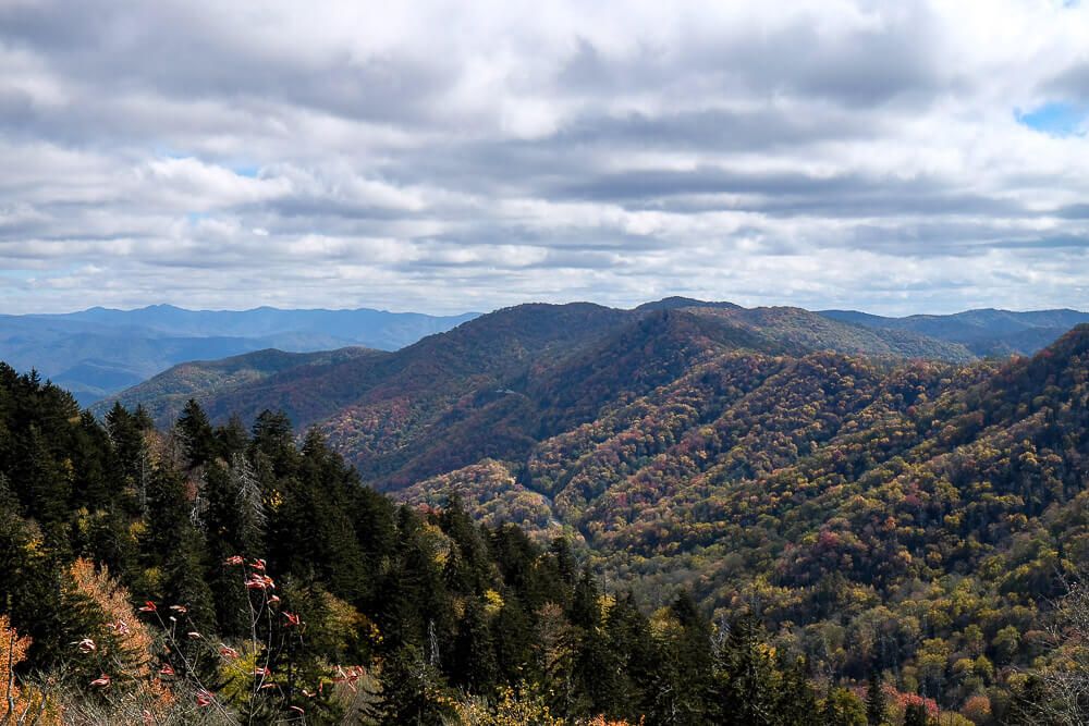
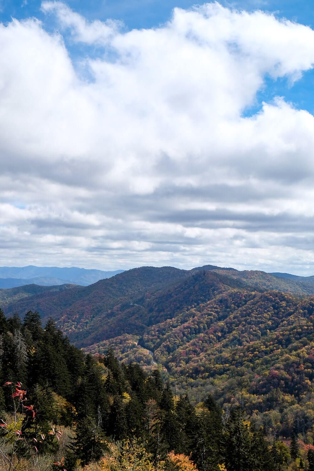
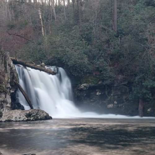
The Great Smoky Mountains National Park is the most visited national park in the country. It’s also quite huge and has tons of sites, activities, towns, and more nearby. But what if this is your first visit? Where should you start with a park so large and popular? The Smoky Mountains are just a couple hours drive from my home and I visit them frequently. Here are some of my favorite things to do in the Great Smoky Mountains National Park.
Before I get to my recommendations, I want to reiterate that the park is very large. And is very mountainous. So driving times between stops are long, probably longer than Google suspects. So don’t plan to drive all over the national park for your weekend trip. I’d pick a place to base yourself out of. Or else you might end up spending the whole day in the car going from one place to the other.
I’m also going to limit this list to activities inside the National Park. The Great Smoky Mountains are ringed by towns. And lots of those towns have things you can do or sign up for in and around the park. Since I’ve mostly spent my time in the park (and camping in the park), that’s where I’m going to focus my recommendations.

5 Things to Do in the Great Smoky Mountains
Visit Clingmans Dome
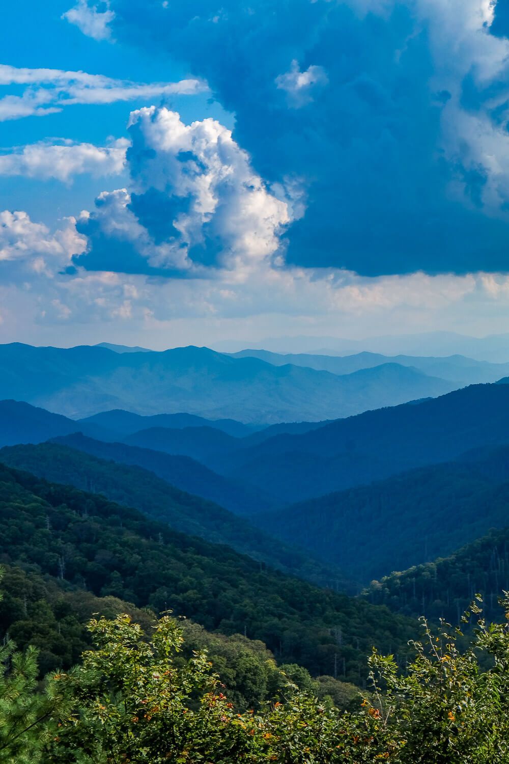
I’m all about getting the best view, and so I’ll start this list with the highest mountain in the park – Clingmans Dome. Clingmans Dome tops out at 6,643 feet. Its peak straddles the state line between Tennessee and North Carolina. It’s the tallest mountain in the park, the tallest mountain along the Appalachian Trail, the tallest in Tennessee, and the third tallest east of the Mississippi.
So it’s pretty high up there.
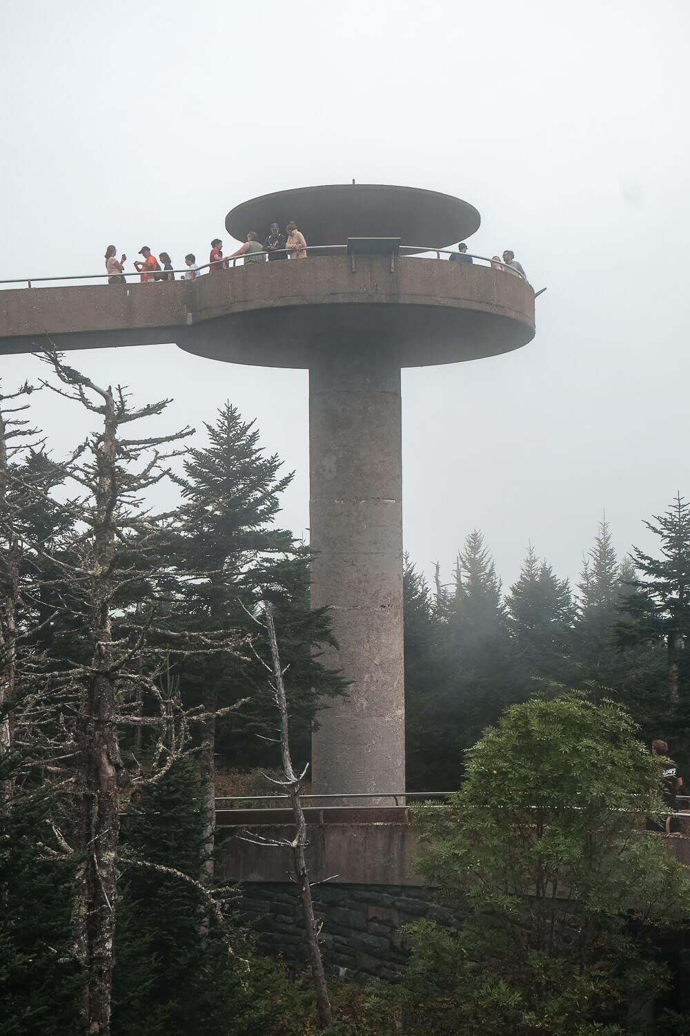
At the top of the mountain, the Clingmans Dome Observation Tower grants you amazing 360 degree views of the park and beyond (if the weather behaves). But it’s not a simple walk to get there.
To reach Clingmans Dome you’ll want to take the turn off of the Newfound Gap Road (US 441) just south of the Newfound Gap. Seven miles down this road, you’ll reach the main parking area and the Clingmans Dome visitor center. Now there isn’t a ton of parking here, so try to avoid peak times.
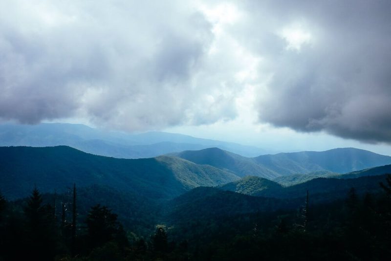
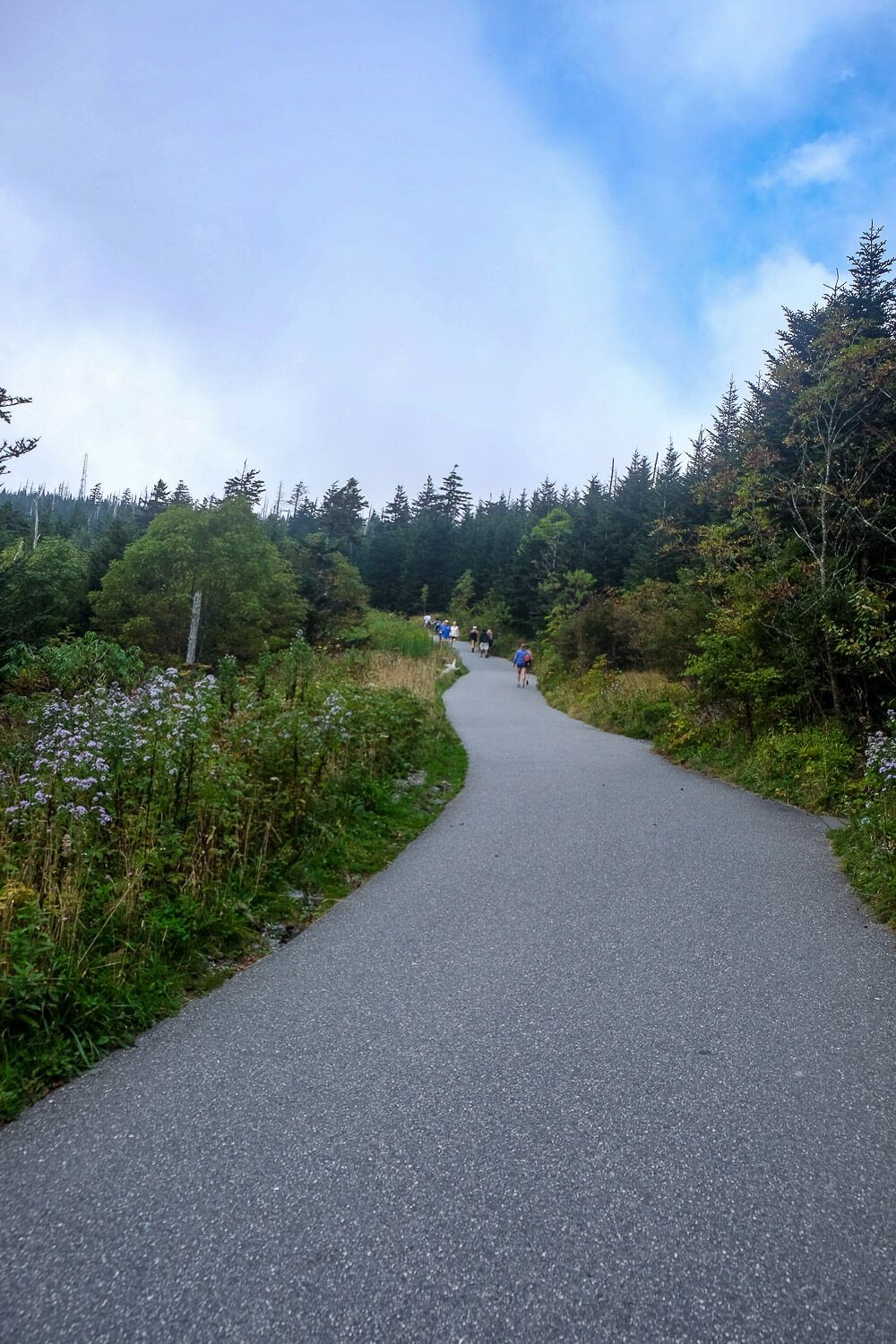
The views just off the parking lot are pretty fantastic. And there are several hikes you can do from here (like the one to Andrews Bald). But the main trail is the one to the top of Clingmans Dome. It’s just a half a mile from the parking area to the tower and its paved.
But it’s really, freaking steep.
I thought this would be easy. After our other hikes in the Smokies, I was sure this wouldn’t be too tough. But by god, I had to take few breaks. And several people around me had to do the same. Luckily there are a few, prized benches along the way if you can snag one for a few minutes.
The trail climbs 300 ft in just .5 miles and it usually takes around 30 minutes for the average person to reach the top.
Now before you start puffing your way up the hill, you will want to keep the weather in mind. On clear days, the tower provides panoramic views of the Smokies. You’ll even be able to see land in 5 different states.
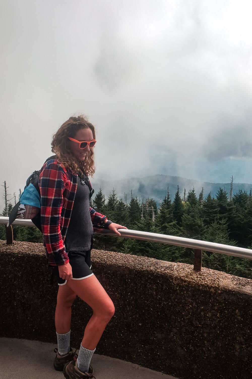
If it’s not clear however, you may only see clouds below you, blanketing the mountains. Or you may find yourself within one of those clouds, giving you views of just vapor and an impenetrable gray void.
This is what we saw on our first visit. Which was strange since at the parking area we had amazing views. But at the top of the observation tower, we had ascended into a cloud. Now the rangers at the start of the paved trail mentioned this was the case, and we had charged onwards hoping they were wrong.
They weren’t.
So if the weather is iffy and hiking up to the observation tower won’t be worth it without those views, maybe save it for another trip.
A few more additional notes as you’re planning. The road to Clingmans Dome is closed from December 1 through the end of March. And it may be closed at other times if the weather is bad (think like a frosty morning in April).
Also the summit of Clingmans Dome gets a lot of rain – 85 inches annually. This basically puts it in the rainforest category. So check the weather before you head out. And since it’s so high up, be sure you’re prepared for cooler temperatures.
Read Next: The Hike to Andrews Bald from Clingmans Dome
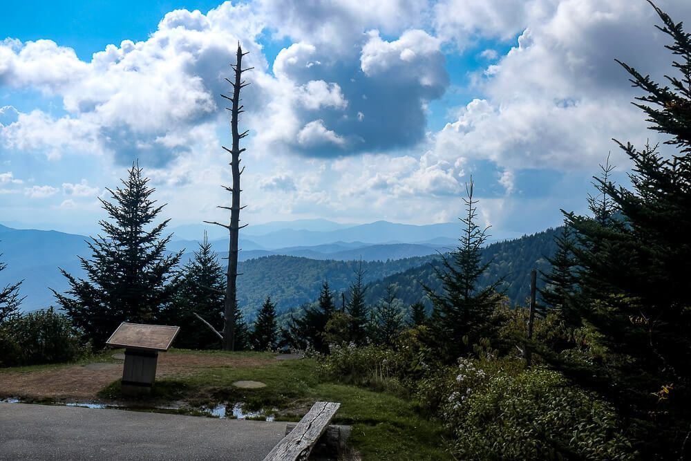
Go on an Epic Hike
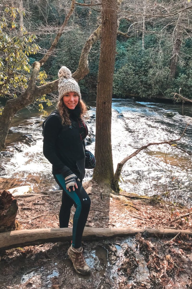
It’s time to strap on your hiking boots. Because the Great Smoky Mountains have you covered on the trail front.
The Great Smoky Mountains National Park has 150 different trails that make up more than 800 miles. You could probably hike just in the Smokies for the rest of your life if you wanted too. And only two other national parks have more miles of trails (Yosemite & Yellowstone).
Though several activities around in the Smokies might close in the winter, hiking is not one of them. You’ll be able to enjoy the park’s trails during every season.
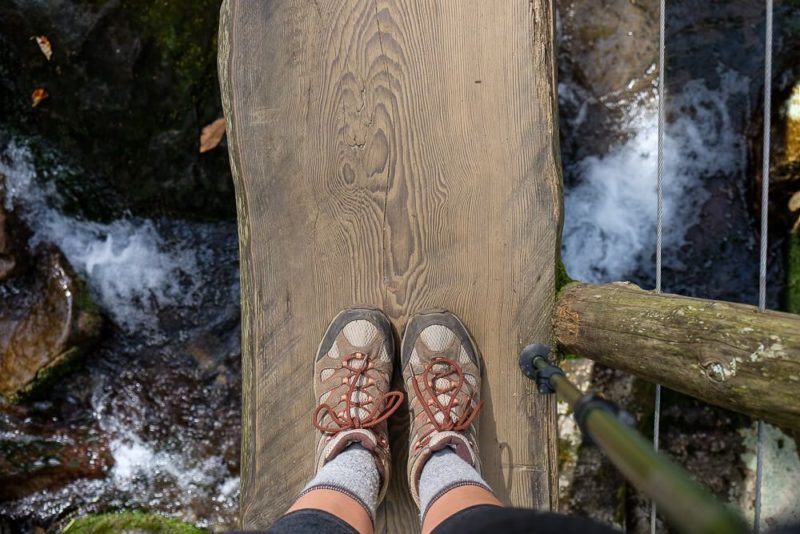
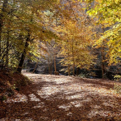
Winter can grant you amazing views since the trees have lost their leaves. Spring brings wildflowers and flowering shrubs and trees. Summer provides warmer temperatures where hikers can seek out higher elevation trails or cool down along mountain streams and cascades. And fall, maybe the most beautiful season of all. Autumn paints the Smokies in an array of oranges, reds, and yellows.
But with so many options, which hike is for you? To make your decision, I would look at where you want to be based and what you’re looking for. I’ve included some of my favorites below, but you can always stop by a Visitor Center and talk to the rangers for their recommendations.
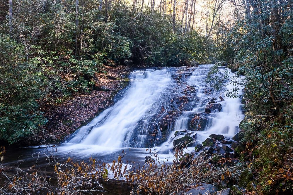
Hikes with Waterfalls
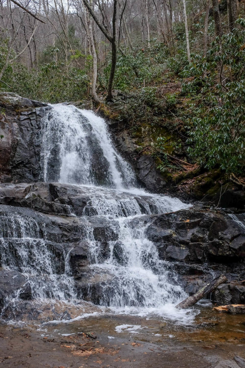
Laurel Falls
Distance: 2.6 miles
Difficulty: Easy
Location: Near Sugarlands Visitor Center (Gatlinburg)
Deep Creek Trail Loop
Distance: ~5 miles
Difficulty: Moderate
Location: Near Bryson City
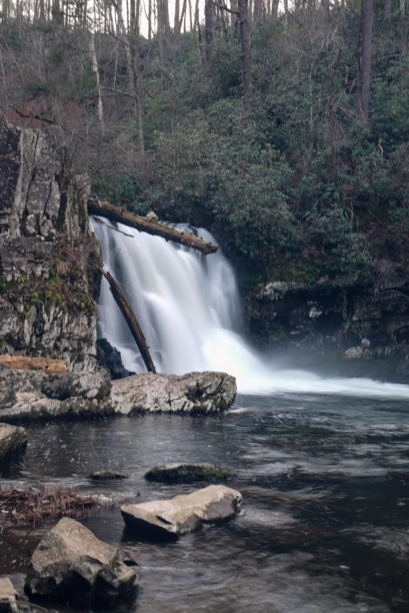
Abrams Falls Trail
Distance: ~5 miles
Difficulty: Moderate
Location: Cades Cove
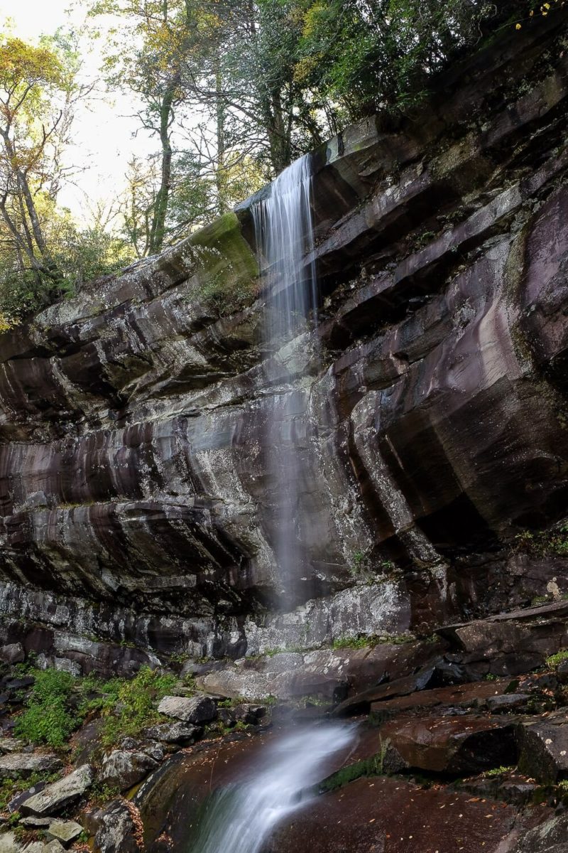
Rainbow Falls
Distance: ~5.4 miles
Difficulty: Strenuous
Location: Near Gatlinburg
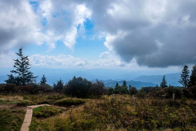
Hikes with Views
Clingmans Dome
Distance: 1 mile
Difficulty: Easy(ish)
Location: Clingmans Dome (Newfound Gap Road)
Andrews Bald
Distance: 3.6 miles
Difficulty: Moderate
Location: Clingmans Dome
Chimney Tops
Distance: 4 miles
Difficulty: Moderate
Location: Newfound Gap Road
Charles Bunion
Distance: 8 miles
Difficulty: Moderate / Strenuous
Location: Newfound Gap
Alum Cave
Distance: 10 miles
Difficulty: Strenuous
Location: Newfound Gap Road
Less Popular Hikes
Rich Mountain Loop
Distance: 8.5 miles
Difficulty: Moderate
Location: Cades Cove
See a Waterfall
I love waterfalls. If there’s one in the area of a place I’m visiting, I’ll make it a stop on my itinerary. And the Smoky Mountains has a lot of waterfalls. Some are more easily accessible than others. But if you have a thing for waterfalls, then definitely think about adding them to your trip!
Most of the waterfalls in the park are accessible via trails only. My list of Hikes with Waterfalls above give details on the hikes I’ve done so far. Click on each trail name to see a detailed guide on the hike.
If you’re looking for an easy hike, the Laurel Falls Trail is paved and relatively flat. However it’s also crowded. Rainbow Falls is the tallest waterfall in the park and is very impressive. But it’s at the end of a long, hard trail.
Read Next: Hike the Laurel Falls Trail
Rainbow Falls Laurel Falls
There are a few other trails with waterfalls that I haven’t hiked yet. These are on my list though! And as I complete them, I’ll update the information here.
Grotto Falls via the Trillium Gap Trail
Distance: 2.6 miles
Difficulty: Moderate
Location: Near Gatlinburg
Hen Wallow Falls via the Gabes Mountain Trail
Distance: 4.2 miles
Difficulty: Moderate
Location: Near Cosby Campground
Ramsey Cascades
Distance: 8 miles
Difficulty: Strenuous
Location: Near Gatlinburg
There are two waterfalls that are accessible via a car. And they are pretty spectacular. The first is The Sinks.
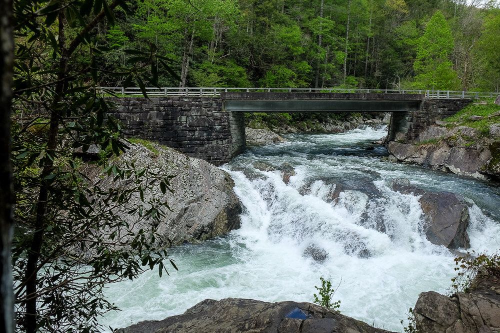
The Sinks is located along the road to Cades Cove between Elkmont campground and the road to Townsend. It has its own parking area and informational stands where you can learn about the waterfall. The observation deck on the other side of the falls has the best views of the waterfall.
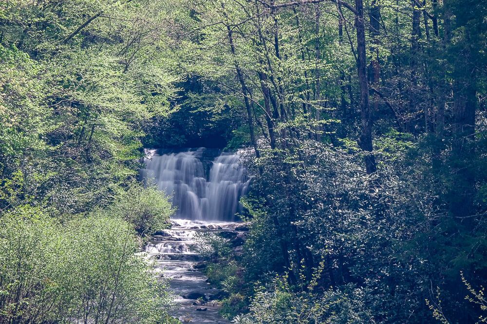
The other waterfall accessible via your car is also along the road to Cades Cove just west of The Sinks. Meigs Falls will be on the south side of the road where the Meigs Creek meets the Little River.
You won’t be able to get close to it, but there’s room to pull over for you to stop awhile. It’s positioned back in a valley a bit, but you’ll have a pretty good view of it.
Drive an Auto Tour
The Great Smoky Mountains National Park is huge. It’s so big (over 800 square miles) that there are several different driving routes inside the park that you can take. You’ll be taken to epic views, have a chance to see wildlife, see historic buildings, and more.
It’s also a way to see a large swath of the park from the comfort of your car. Especially if your group includes those who have trouble getting around.
The descriptions below will include information on closures for the road, but know that some may be closed due to inclement weather (like icy conditions). So keep the weather and season in mind, and have some backup plans.
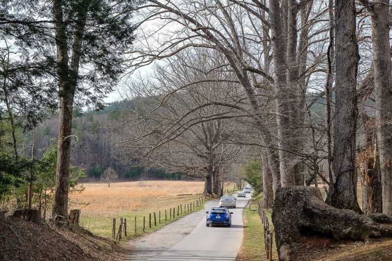
Lastly, and this is super important, please don’t speed. More than 20+ bears are killed each year by speeding motorists. Do your part to keep the Smoky Mountains wild by slowing down.
I’ve included some of my favorite auto tours below. There are a few others that I plan on adding to the list as I test them out.
Cades Cove Loop
Distance: 11 miles
Closures: Closed from sunset to sunrise
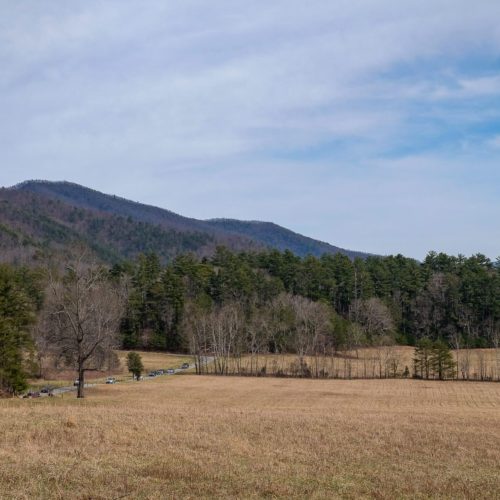
Description: Cades Cove is a large valley ringed by mountains with a one-way road circling it. The main sites here are the historic buildings dating back to the early 1800s. You’ll be able to pullover and explore these sites if you wish. I recommend picking up an inexpensive informational booklet at the start of the loop if you’re into history. Lastly, and very important, wildlife viewings are frequent here. Think deer, black bears, turkeys, and more. And the road is very narrow. Most people will literally just stop their car in the middle of the road to watch the wildlife. And there will be no way to get around them. Driving the loop will take you longer than you expect.
Other Drives Near Cades Cove
There are several scenic drives near Cades Cove that you can do if you’re interested.
- Parson Branch Road: accessible via Cades Cove Loop; closed in winter
- Rich Mountain Road: accessible via Cades Cove Loop; closed in winter
- Little River Road: Connects Sugarlands Visitor Center to Cades Cove Loop.
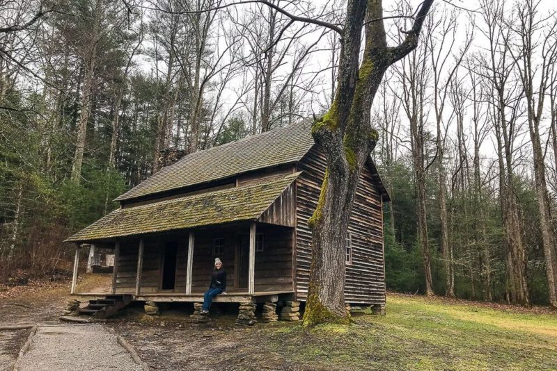
Newfound Gap Road
Distance: 31 miles
Closures: During bad weather
Description: The Newfound Gap Road is the only road that crosses the park. It travels up and over the Newfound Gap from Gatlinburg to Cherokee. It climbs almost 4,000 feet and is one of the highest highways in the eastern United States. Along it you’ll find visitor centers, hiking trails, amazing views, and more. Plan for extra time as you’ll want to pull over several times to take in the sites.
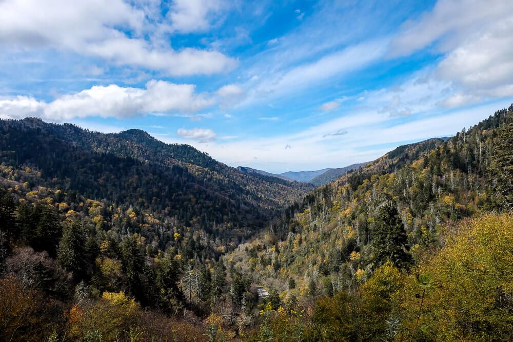
Roaring Fork Motor Trail
Distance: 6 miles
Closures: December through Mid-March
Description: The Roaring Fork Motor Trail starts right after the Rainbow Falls trailhead. It parallels a stream of the same name and will take you along a winding journey past forests, waterfalls, streams, and historic buildings. You’ll be able to pull over in small parking areas to get out and explore. I recommend picking up an inexpensive informational booklet at the start of the loop if you’re into history.
Blue Ridge Parkway
Closures: During bad weather
Description: Okay this isn’t in the park. But the 469 mile long parkway starts right outside of the Great Smoky Mountains (on the Cherokee side). It’s less crowded, offers amazing views, and is one of the best drives in America. Even just driving it for 20 miles will take you to some great viewpoints. It’s also the only way to get to the Balsam Mountain area and its corresponding road. This less explored route may be just what you’re looking for if you’re visiting during peak times.
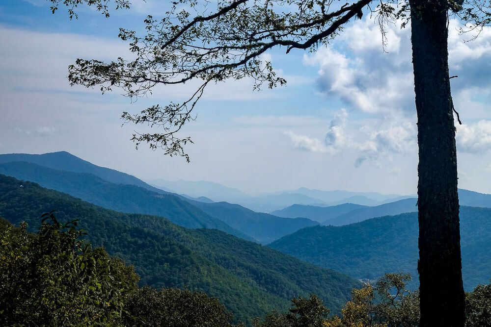
Take in the Views at the Newfound Gap
I’m ending this list with perhaps my favorite view in the park. Driving up Highway 441 to the Newfound Gap is something I always include in my trips. Its crowded. Parking can be tough. But I love it anyway.
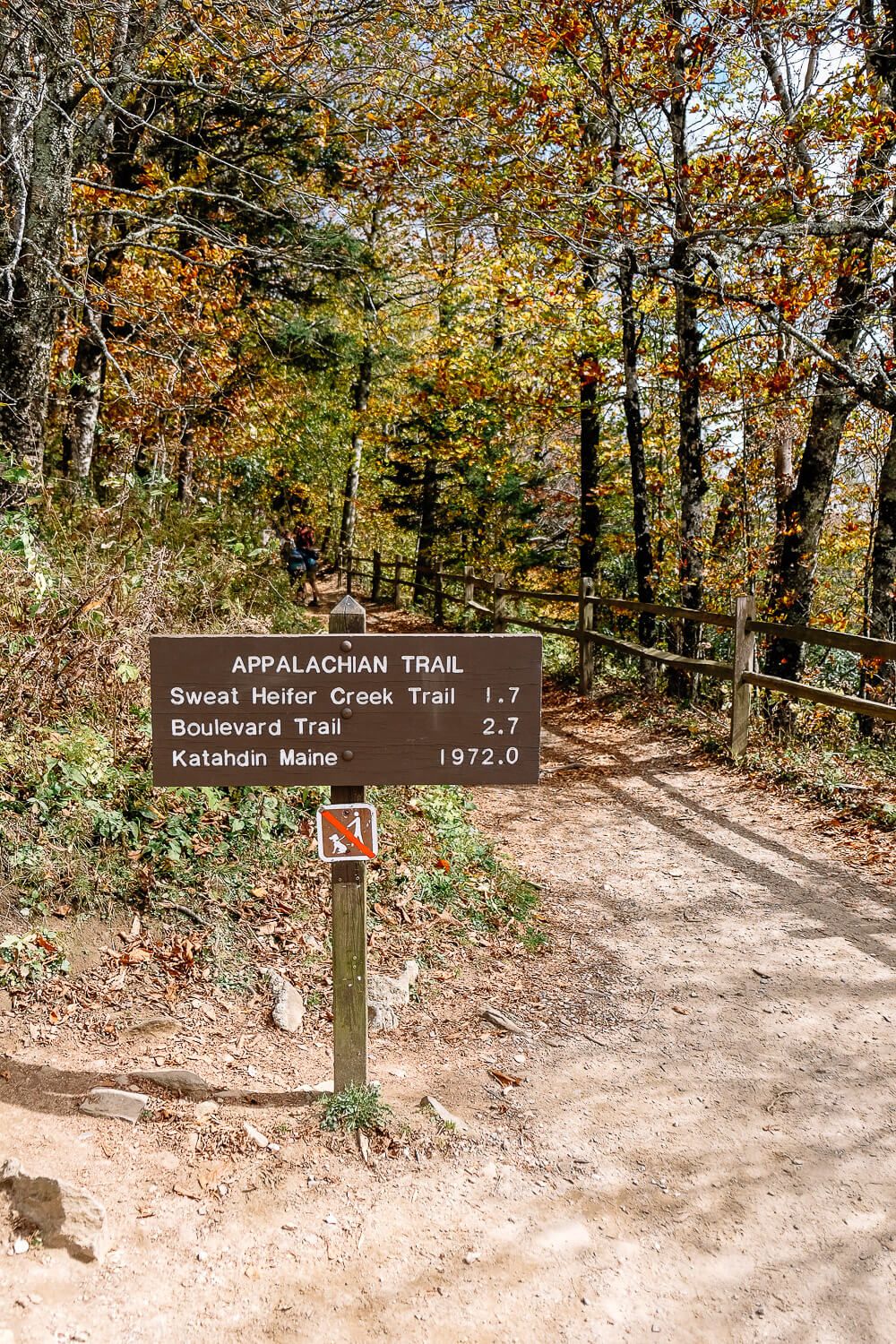
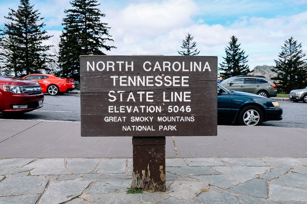
The gap lies along the Tennessee / North Carolina border. You can take a picture with the corresponding sign and stand on the Rockefeller Memorial. The same place where Franklin D. Roosevelt stood to dedicate the park.
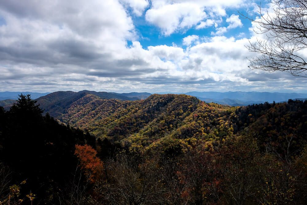
The best views are to the south into the Oconaluftee Valley. But other than gaping at the landscape below you, you can also hike down the Appalachian Trail, look for wildflowers, read up on the history of the gap, or just kick back and relax.
The popular hike to Charles Bunion starts here, just head north on the Appalachian Trail. But if you want to escape the crowds a bit, you have two options. You can head south on the Appalachian trail instead. Or there’s also a small grassy path at the far end of the parking area that traces the old road.
Hope you have a great trip to the Smoky Mountains!
Planning your trip to the Great Smoky Mountains?
Great hiking trails:
(listed in order of difficulty)
- Laurel Falls Trail
- Abrams Falls Trail
- Deep Creek Loop Trail
- Andrews Bald Hike
- Rainbow Falls Trail
- Rich Mountain Loop Trail
Other things to do in the National Park:
- Visit Cades Cove
- Drive the Newfound Gap Road
- Go to the top of Clingman’s Dome
- Drive the Roaring Fork Motor Trail
Where to stay:
The national park is HUGE, so there are numerous entry and exit points. My suggestion would be to base yourself in a town near the area of the park you want to explore. Then you can usually found a hotel, a campsite (either with the park or not), or a house/cabin rental. For rentals I use Airbnb or VRBO.
Here are some of my suggestions and places I’ve stayed:
